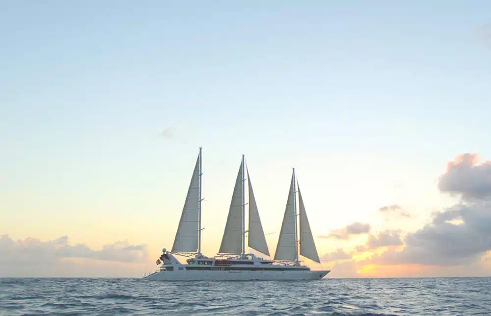
Sailors, young or old, still have lots to learn from the rich world of the sea and oceans. Navy vocabulary can be found in alphabetical order. A fun way to learn or refresh a number of essential or unusual navigation terms.
A like…
AIS
The Automatic Identification System (AIS) is an automatic tracking system used on ships via VHF channels. Information provided to vessels and marine traffic monitoring system includes identification, status, position and course of vessels in the traffic zone.
B like…
BOSUN or boatswain
Also known as deck boss, qualified member of the crew under the authority of the Chief mate. Supervises and coordinates a team of seamen for the daily operations and maintenance.
C like…
CABLE LENGTH
Old unit of measure used for anchor cables equal to 100 fathoms (approximately 200 metres). By extension, it applies to the distance between two objects that are relatively close together.
D like…
DISPLACEMENT
The weight of water displaced by a ship expressed in tonnes.
E like…
ENTER A CHANNEL
Leave the high sea to enter a channel, a straight or a fairway.
F like…
FREEBOARD
Distance from the waterline to the upper deck level, measured at the Midship beam.
G like…
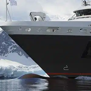
GUNPORT
Rectangular opening in the side of the hull of a ship which originally allows a gun to fire outside.
H like…
HARBOURMASTER’S OFFICE
Service under the Port authority ensuring surveillance of the body of water, safety in the approach Channel and in the port, coordination of port services (Pilotage, towing, Harbour pilot), organisation of ship movements (entry/exit) and their assigned berths.

K like…
KNOT
Unit of speed equal to one Nautical mile per hour. A merchant ship at a speed of 10 knots is sailing at a speed of 18.5 km/h.
L like…
LENGTH OVERALLE
Length of a ship’s hull measured from bow to stern. Overall beam : width at the widest point of the ship.
M like…
MARITIME FLAG
A flag is used to designate the ship’s country of registration. PONANT ships sail under the French flag.
N like…
NAUTICAL MILE
A nautical mile is a unit of measurement equal to 1.852 metres, it is defined as one minute of latitude, which is equivalent to one sixtieth of a degree of latitude, not to be confused with the land mile, standardised as 1.609.
O like…
ŒCEAN NAVIGATION
Open ocean navigation with no terrestrial references.
P like…
PLIMSOLL LINE
Reference mark located on the ship’s hull that indicates the maximum depth to which the vessel may be safely immersed when loaded with cargo.
Q like…
QUICKWORKS
Part of the hull which is below the Waterline.
R like…
ROADSTEAD
Natural open body of water where ships can safely anchor.
S like…
SLACK WATER
The state of the tide when there is no movement either way in the tidal stream.
T like…
TRADE WINDS
Steady regular winds blowing at lower latitudes in a belt approximately 30° North and 30° South of the equator: these winds blow predominantly from the northeast in the Northern Hemisphere and from the southeast in the Southern Hemisphere.
U like…
UNDERWATER HULL
Submerged part of the ship hull.
V like…
VESSEL
A nautical term for all kinds of craft designed for transportation on water with a propulsive capability featuring a special status, with a name, a port of call and a nationality. A ship is Fitted out, when it is ready to navigate.

W comme…
WATER LINE
The line of intersection of the surface of the water with the hull of the ship at any draft and any condition of trim, between the Quickworks or Underwater hull (submerged part below the hull waterline) and Topsides (emerged part). The ship Draft is measured at the waterline.
Discover the Ponant world

